Creating an interactive map UI can greatly enhance the user experience on a website.
To design an effective interactive map in Sketch, one must focus on a clean layout, intuitive navigation, and engaging visual elements. By keeping these principles in mind, designers can help users explore information in an enjoyable and meaningful way.
Sketch offers powerful tools that make it easier to bring the vision of an interactive map to life.
With features that enable customization and prototyping, the design process can become seamless and efficient. Designers can leverage the software’s capabilities to create maps that are not only functional but also visually appealing.
Understanding the basics of user interface design is essential for creating an interactive map that meets user needs.
Implementing user feedback, using clear icons, and choosing the right color schemes can make a big difference in how users interact with the map. With the right approach, anyone can craft a captivating interactive experience that keeps users coming back for more.
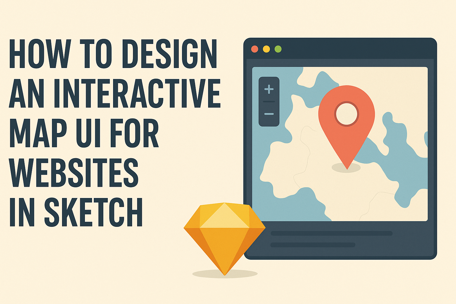
Understanding User Interface Design for Interactive Maps
Designing an interactive map UI requires attention to user needs and the context in which maps are used.
Successful maps blend functionality with aesthetics, ensuring that users can navigate seamlessly.
The Purpose of Interactive Maps
Interactive maps serve various functions, from providing location data to enhancing user engagement. They allow users to explore geographical information dynamically, making them essential in applications like travel guides, real estate listings, or local business directories.
These maps often include features like zooming, panning, and clickable markers. Such elements enable users to interactively discover information.
By making data visual and accessible, interactive maps can improve user experience and increase the time visitors spend on a website.
Principles of Map UI Design
Effective map UI design hinges on a few key principles.
First, clarity is crucial; users should easily understand symbols, labels, and navigation tools. An organized layout helps prevent confusion, making navigation more intuitive.
Second, interactivity is important. Features like filtering, search functionality, and tooltips provide a more engaging experience. Users should feel in control while exploring the map.
Lastly, aesthetics matter. A visually appealing design can draw users in. Balancing color schemes, typography, and elements ensures that the map is not only functional but also attractive.
Careful attention to these principles can lead to successful map UI design.
Getting Started with Sketch
To create an interactive map UI, a solid understanding of Sketch is essential. This includes setting up the canvas for your design and getting acquainted with important tools and features.
Setting Up Your Canvas
Setting up your canvas is the first step in using Sketch effectively.
Users can create a new document by selecting File > New. It’s essential to choose the correct dimensions for the canvas based on the device or screen size being targeted.
Once the document is open, users can set the artboard size, which serves as the design area. To do this, click on the Artboard tool in the toolbar and choose a preset size or customize it. Labeling artboards is helpful, especially when working on multiple designs.
Users can also adjust the grid and guides to align elements precisely. This helps in maintaining consistency in layout as the design evolves. A well-organized canvas simplifies the design process and ensures a smoother workflow.
Familiarizing with Sketch Tools and Features
Knowing the tools and features in Sketch is vital for creating effective designs.
The toolbar contains essential tools like the Shape tool, Text tool, and Pen tool, all of which are critical for map design.
Users can take advantage of styles, symbols, and shared libraries in Sketch. Styles allow for quick customization of colors, borders, and shadows. Symbols are reusable components, making it easy to maintain design consistency.
The Inspector panel on the right side shows properties for selected elements. This is where users can edit size, color, and layout options. Familiarity with these tools enhances creativity and efficiency while designing an interactive map UI.
With a solid setup and knowledge of the tools, users can bring their interactive designs to life.
Designing the Map Interface Elements
Creating an engaging map interface requires attention to specific elements that enhance usability and provide a smooth experience for the user. This section focuses on how to build essential parts of an interactive map.
Creating the Map View
The map view is the centerpiece and should be intuitive.
Start by choosing a base map that suits the content. Options include topographic maps for outdoor activities or simple street maps for navigation.
Ensure the map is responsive to different screen sizes. This enhances usability across devices. A consistent layout helps users understand how to interact with the map.
Incorporate tools such as zoom controls or search features. These allow users to easily find locations of interest. Offer customization options, like different map styles, for a unique touch.
Designing Navigation Controls
Navigation controls are vital for user interaction.
Clear buttons for zooming in and out should be easily accessible. They typically appear at the corners of the map for convenience.
Incorporate a “home” button that resets the map to a default view. This helps users quickly get back to the starting point.
Adding a compass can enhance orientation, especially for outdoor maps. It visually aids navigation, making the map more user-friendly. Placement should be in a non-intrusive area to avoid clutter.
Adding Location Markers and Pop-ups
Location markers pinpoint areas of interest on the map.
Use simple icons that convey meaning without distractions. Color-coding or shapes can help categorize different types of locations.
Pop-ups provide additional information when users click on a marker. Keep the content brief but informative to maintain engagement.
Consider adding images or links within pop-ups for a richer experience. This can include photos of the location or links to related content. Simple user interaction enhances the overall usability of the map.
Enhancing User Experience
User experience can make or break an interactive map’s effectiveness. Focusing on feedback and accessibility leads to smoother interactions and satisfied users. Key areas to consider include how users interact with the map and ensuring it is usable for everyone.
Incorporating Interactive Feedback
Interactive feedback is crucial in engaging users.
This can involve visual cues like highlighting points when a user hovers over them or changing the color of map elements.
- Visual Indicators: Use pops of color or animations to indicate selected features. This helps users understand their actions.
- Tooltips: Implement tooltips that appear with useful information when users hover over certain areas. This can enhance understanding without cluttering the interface.
- Loading Indicators: If the map requires loading data, include a loading animation. This keeps users informed and reduces frustration during delays.
All these elements create an interactive experience that keeps users engaged.
Ensuring Accessibility and Usability
Accessibility is essential for reaching all potential users.
Creating an interface that is easy for everyone to use ensures a wider audience engagement.
- Keyboard Navigation: Design the map so it can be navigated using a keyboard. This allows users with disabilities to access features easily.
- Color Contrast: Ensure text and map elements have high contrast. This makes the map easier to read for individuals with visual impairments.
- Screen Reader Compatibility: Use semantic HTML elements that work well with screen readers. This enables visually impaired users to gather important information about locations on the map.